Place

What is a place?

People recognize a place, and distinguish it from others, and in our perception a place has a clear and specific identity. A place attracts us, we derive pleasure through all of our senses in going there and being there. We desire to stay or pass through the place. We do something in a place; walk, sit or lie, play, meet and interact with one or more persons, or do many other activities. A place breaks barriers and helps bring together different types of persons. We can also enjoy being alone in a place.  A place is fun and safe for kids, agreeable and inviting for adults, welcoming for the elderly; aesthetic for all. A place has magic.

How is a place created in a city?

Places in cities can be within or outside of buildings. They are created by architects or artists, who use walls, roofs, openings, vegetation, light, the sun and wind, color, texture, sometimes water and many other resources to create places.

Most places are permanent. Architects work in tandem with teams of different types of engineers to design and build the elements that surround and engender places, and ensure them to be permanent and to function well for a very long time. Places created in the framework of permanent buildings or parks are built at very high costs. Official, commercial or private organizations or individuals, commission their design and construction, on properties of which they have legal rights. Permanent places are the result of effective working partnerships between land owners, official institutions, entrepreneurs, architects, engineers, the end users and other stakeholders.

Permanent places belong to the world of institutionalized city planning and architecture. Permanent places are the result of an up to down process. A different type of places can be created in a more spontaneous, less permanent, much less costly and less oficial scope. Since I do not know of a term for this type of place, let’s call them “soft places“. Soft places are the result of a grassroots, down to up process.

Soft places are usually the result of an initiative by artists or of residents of the city. Soft places are built at relatively low cost, requiring an effective but compact partnership between the residents, the artists and city officials. A soft place is almost always created on a property that does not belong to its makers. Soft places are usually temporary. They are created where residents feel the desire for a place, and when they feel that the institutions won’t deliver. A successful dynamic between the residents and the artists is a wonderful recipe for creating a place in a city. The process of creating a soft place is called “placemaking”.

During the last year I have had the fortune to been involved in a wonderful placemaking project in my home city, Bet Shemesh. Neighbors who share a desire to improve our environment have succeeded to get together, to formulate our unconformity and to do something about it. We are well into the planning stages of the project, and have developed a real, collective passion towards taking our plan to fruition. We have chosen an urban artists’ team, and believe that within a few months we will have created a soft but magical place for our neighborhood in a large, neglected plot of land at the entrance to our neighborhood.

Even though we still don’t have our place, we already have an invaluable, unexpected reward: our feeling of living in our neighborhood has changed very significantly. We have hopes. We have a new feeling of community: we are working together for our common goal, we have have befriended neighbors we did not know before, and with others we knew, deepened our friendship. Transforming a geographical juxtaposition of persons into a Community has significantly been enhanced. The feeling of being active members of a community is wonderful.

And this is just the beginning…
History on bicycle

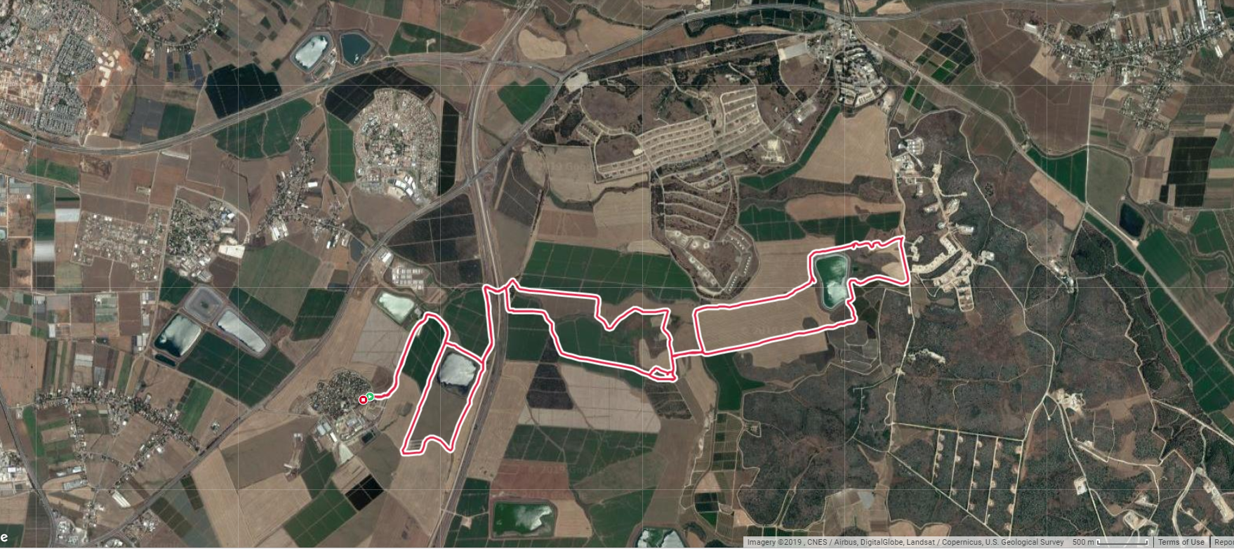
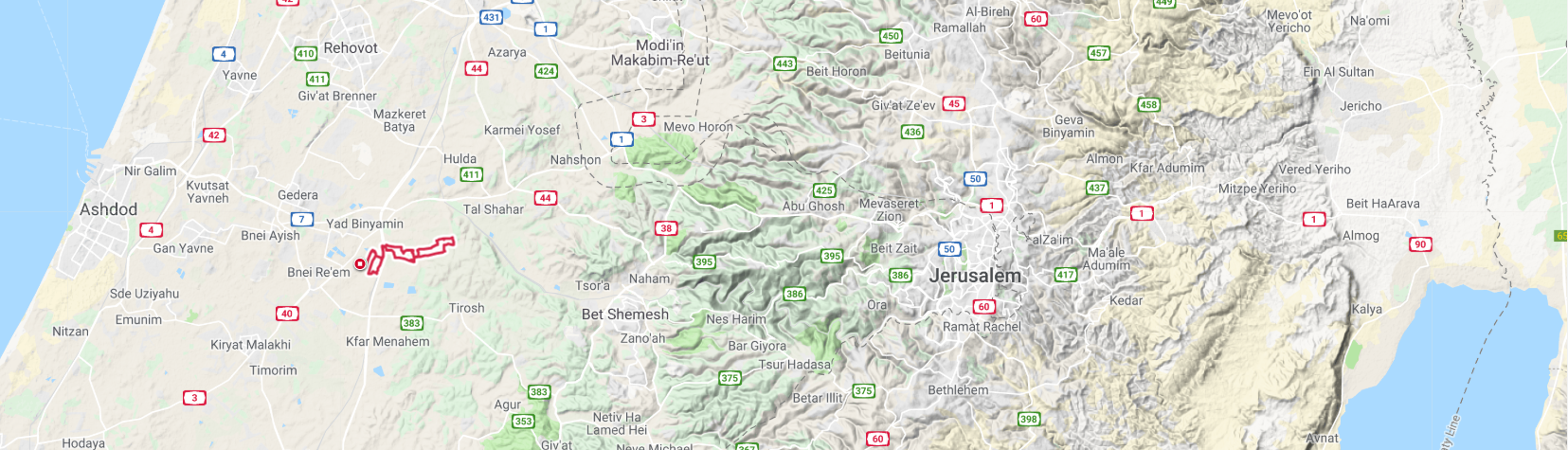
A mid-June, late afternoon, leasurly bike ride in the Land of the Philistines. About 22 kms., circular route on flat terrain.

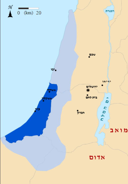
See the route, marked in red, at the transition between the coastal plain to the west and the Judean lowlands to the east.

My starting point was Kibbutz Revadim, at Ofne Idan, the trailhead to a well marked bike route to the adjacent agricultural fields, antiquities sites, and a spring. The facility consists of a bike shop offering services to bikers who want to explore the region.

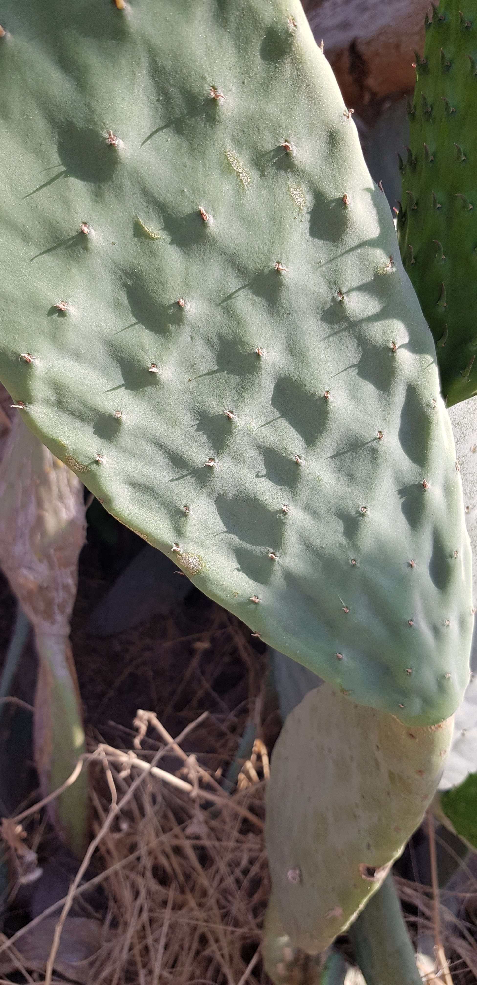
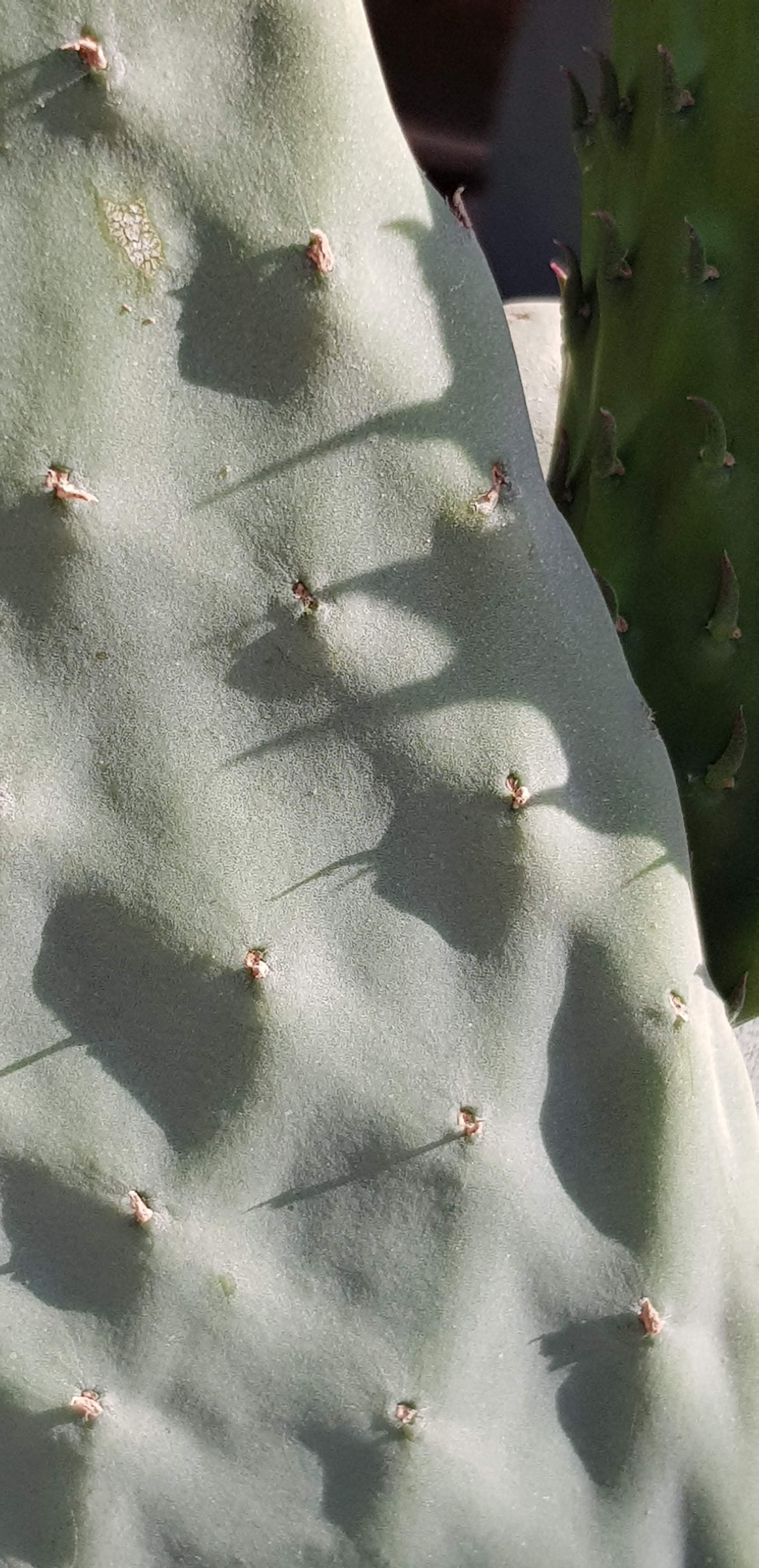
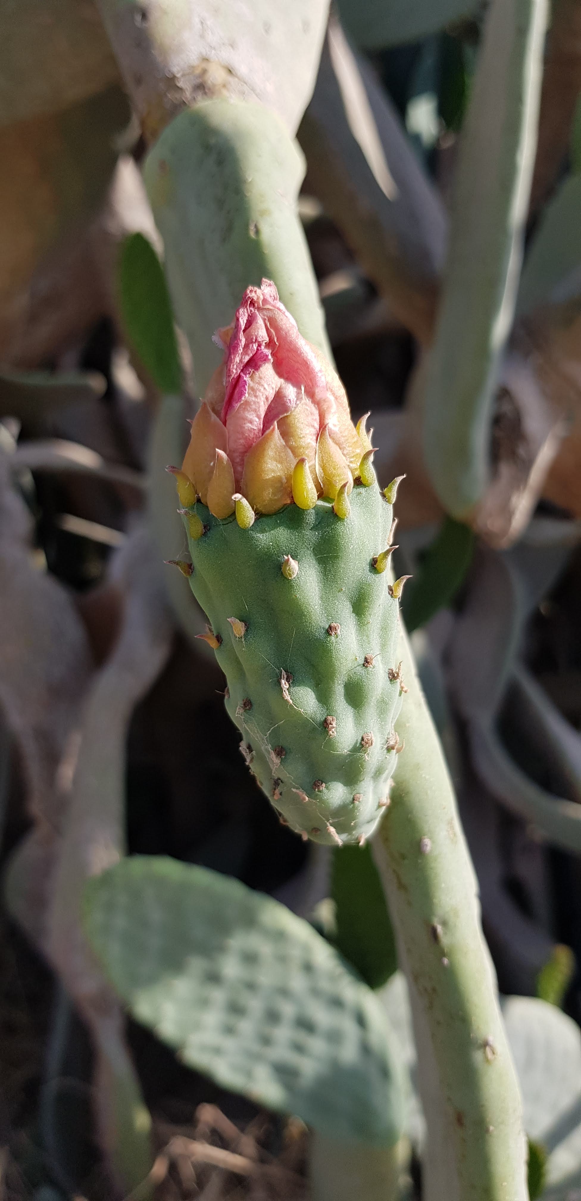
I rode east out of the kibbutz, but immediately a Sabra cactus hedge caught my attention.

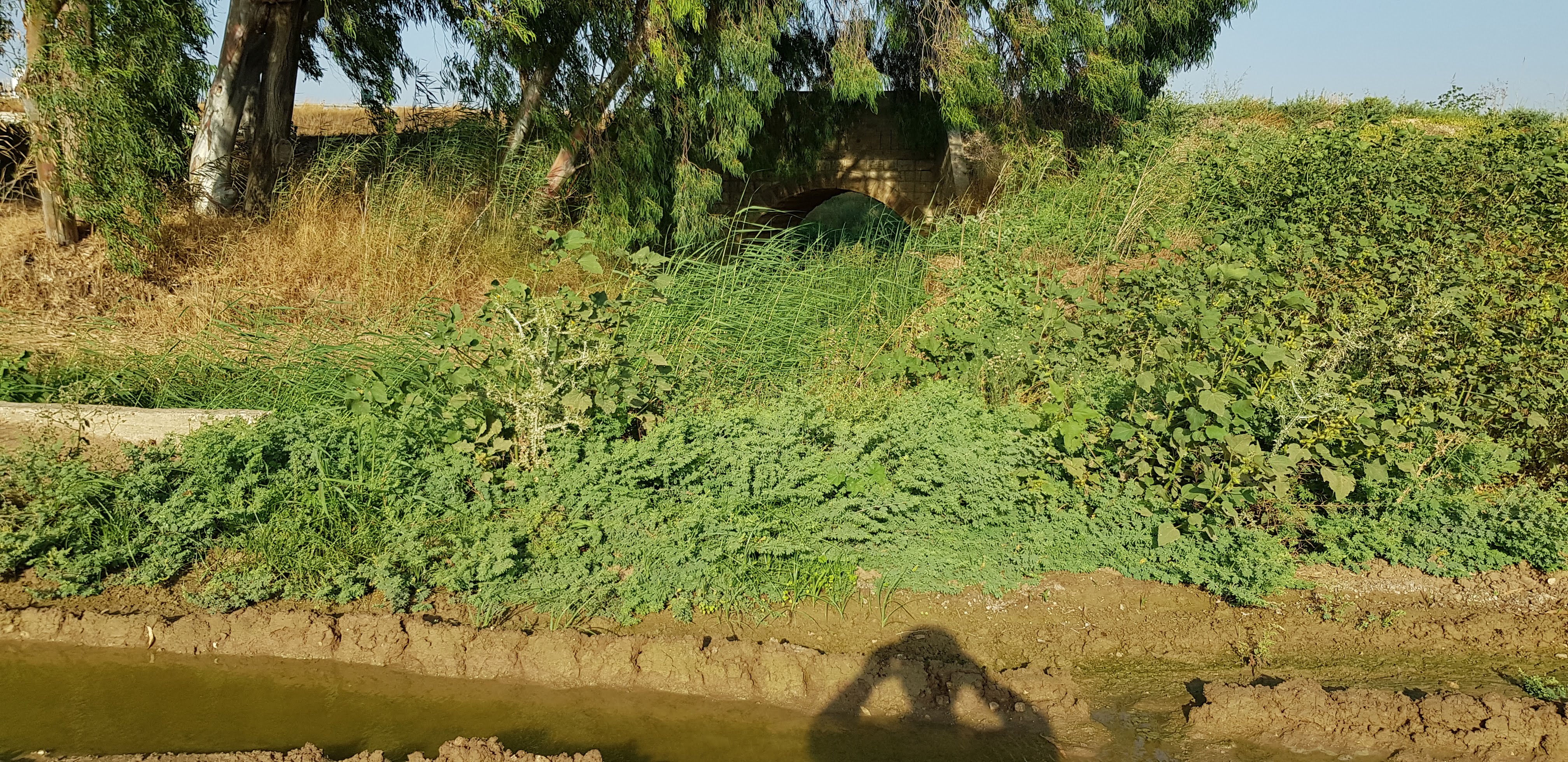
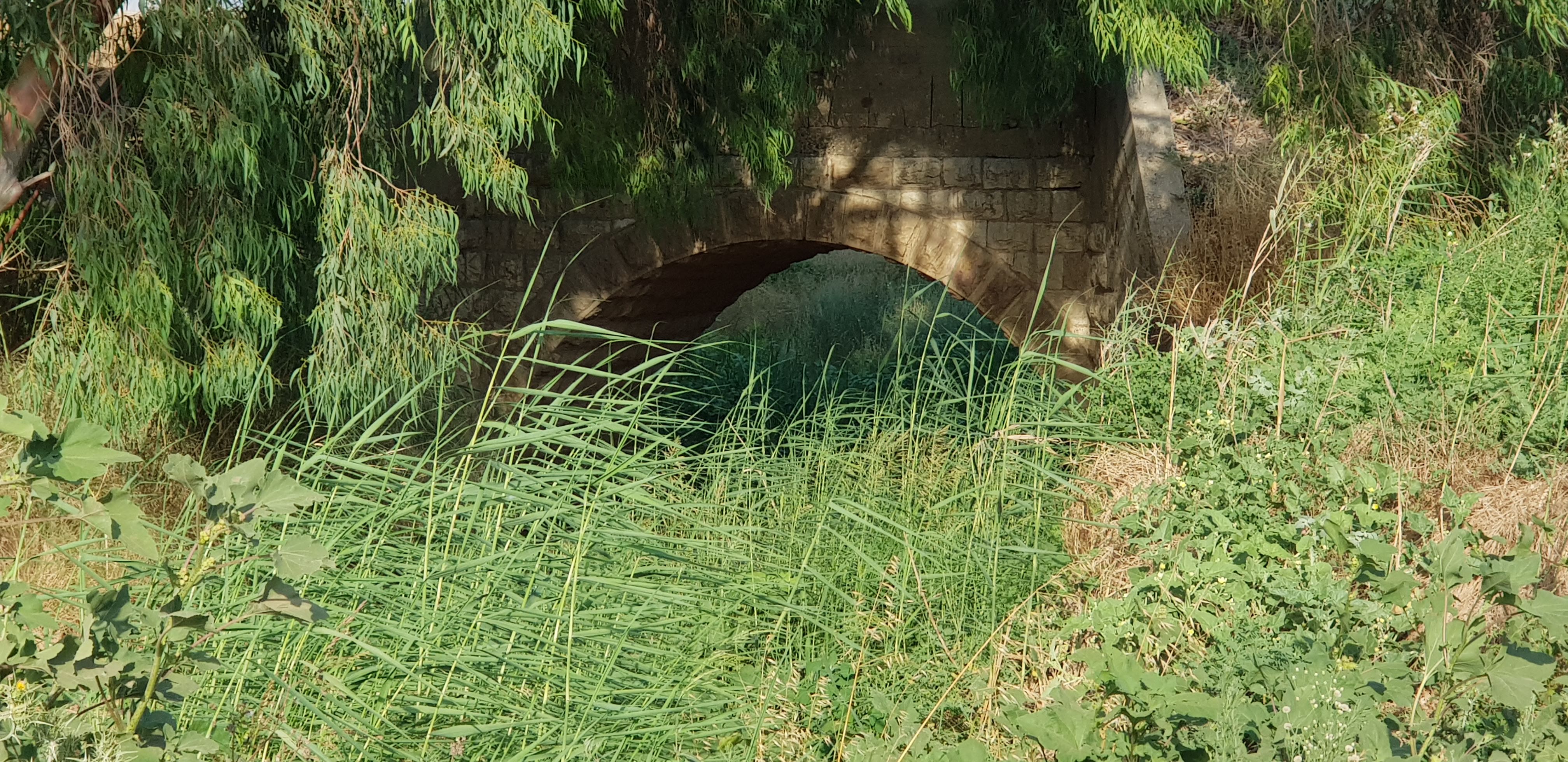
After riding a few kilometers east, I arrived at the ruins of a Turkish railroad bridge.

The Beersheba Line section of the Ottoman “Hijaz Railway”, from Wadi Surar (Sorek station west of Bet Shemesh) in the north, to Beersheba and southward until Kusseima in the North Sinai peninsula, was built during the beginning of WWI by the Turks, with the military purpose of supplying supplies and reinforcements to their troops to halt the British advance northwards from Sinai, as part of the Sinai and Palestine Campaign.  Eventually the Turks and their Axis allies lost the war to the Allied forces, marking the fall of the Ottoman Empire, and bringing the redistribution of vast former Ottoman territories, between Great Britain (Mesopotamia and Palestine) and France (Syria and Lebanon). The Beersheva Line was opened by the Turks in October 1915, then upgraded by the British, who eventually dismantled it 3 years after it was opened. Remnants, as this one is, of this historic railroad can be seen at various points in the north Negev.

Until the 1st World War, the term Palestine referred to a part of the Ottoman Empire, a testimony of which remains this ruin of the railroad bridge.

The term “Palestine” historically has referred to the land roughly north of Egypt and south of Syria. The Biblical origin of the name is פלשת or ארץ פלשתים , the Land of the Philistines. The Philistines were an ancient, originally seafaring people who settled on the southern Mediterranean coast of the Land of Canaan. Gaza, Ashkelon, Ashdod, Gat, Mikne, Ekron, were some of the main Philistine cities. Even though borders changed throughout the ages, and Philistine influence went far beyond, the Land of Philistines was the coastal plain, about 75 kms. long, from the Besor River to the south (spills into the sea at Gaza Strip), to the port city of Yafo to the north, bordered to the east by the Judean Lowlands and and Ephraim hills about 25 kms. to the east of the coast line. Not to be confused with the parts of the west bank, located far to the east, up on the ridges and on the eastern flanks of the Judean and Samarian hills, administered by the Palestinian Authority!

At Kibbutz Revadim, where I started my ride, the Ekron Museum of the History of Philistine Culture is located. Worth a visit! https://www.gemsinisrael.com/the-gems/the-olive-culture-of-the-holy-land/a-reconstructed-philistine-street/

I continued my ride for a few hundred meters north along Highway 6 until the underpass highway crossing, along the Timna stream. The stream had flowing water. After crossing the highway is a lovely pool in the shade with clean, running water – a wonderful spot to cool off and wade into the water.

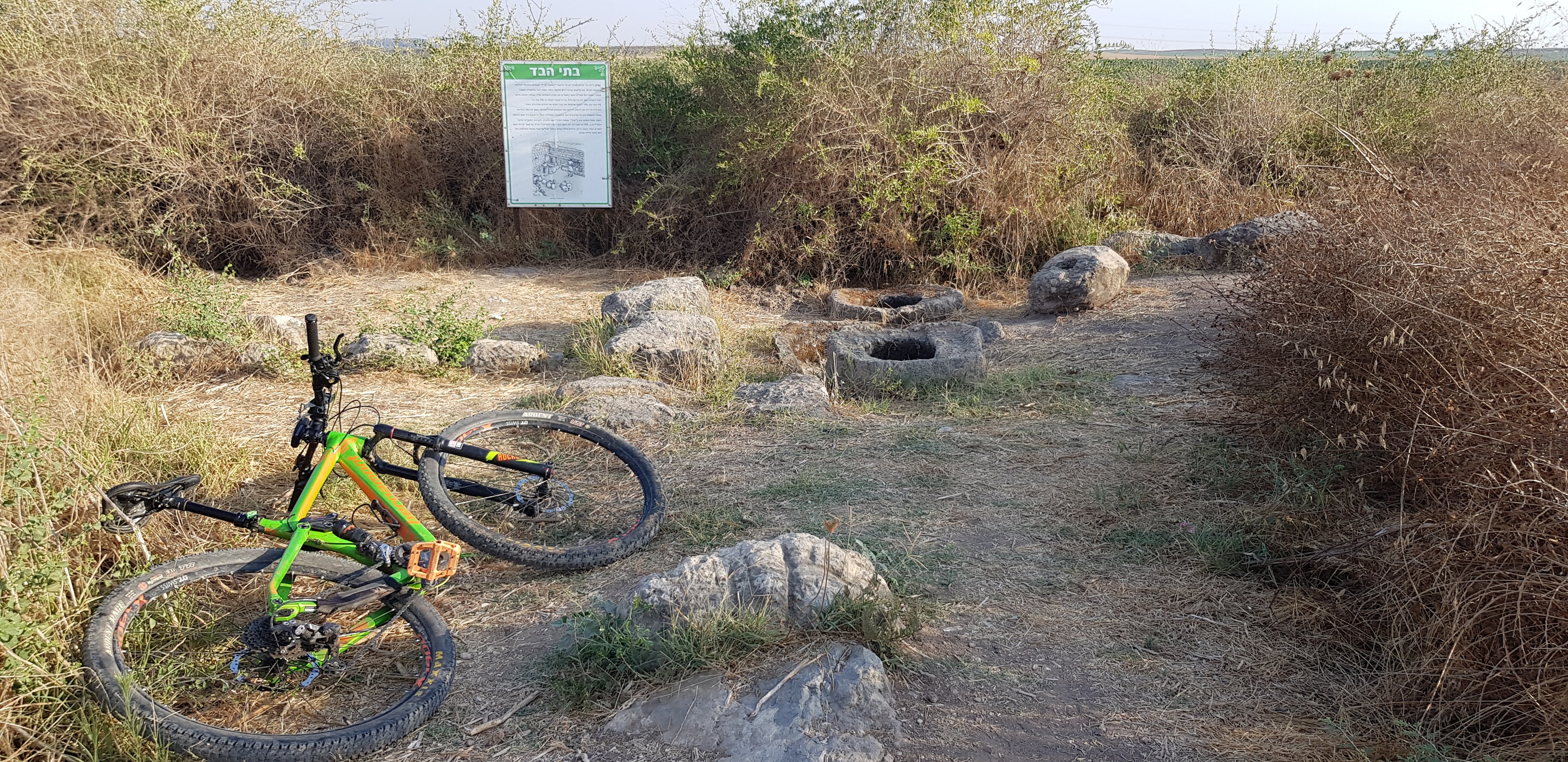
From there I followed the marked dirt road east until Tel Ekron. This Tel, similar to Tel Timnata or Tel Batash, another nearby Philistine tel I have visited, is not a very obtrusive element in the landscape. It rises some 6 – 9 meters above its surroundings on a gentle slope, looking much the same as the surrounding undulating terrain. Yet, in spite of its modest appearance, it is a significant Philistine archeologial site. See link above for more information.

Tel Ekron

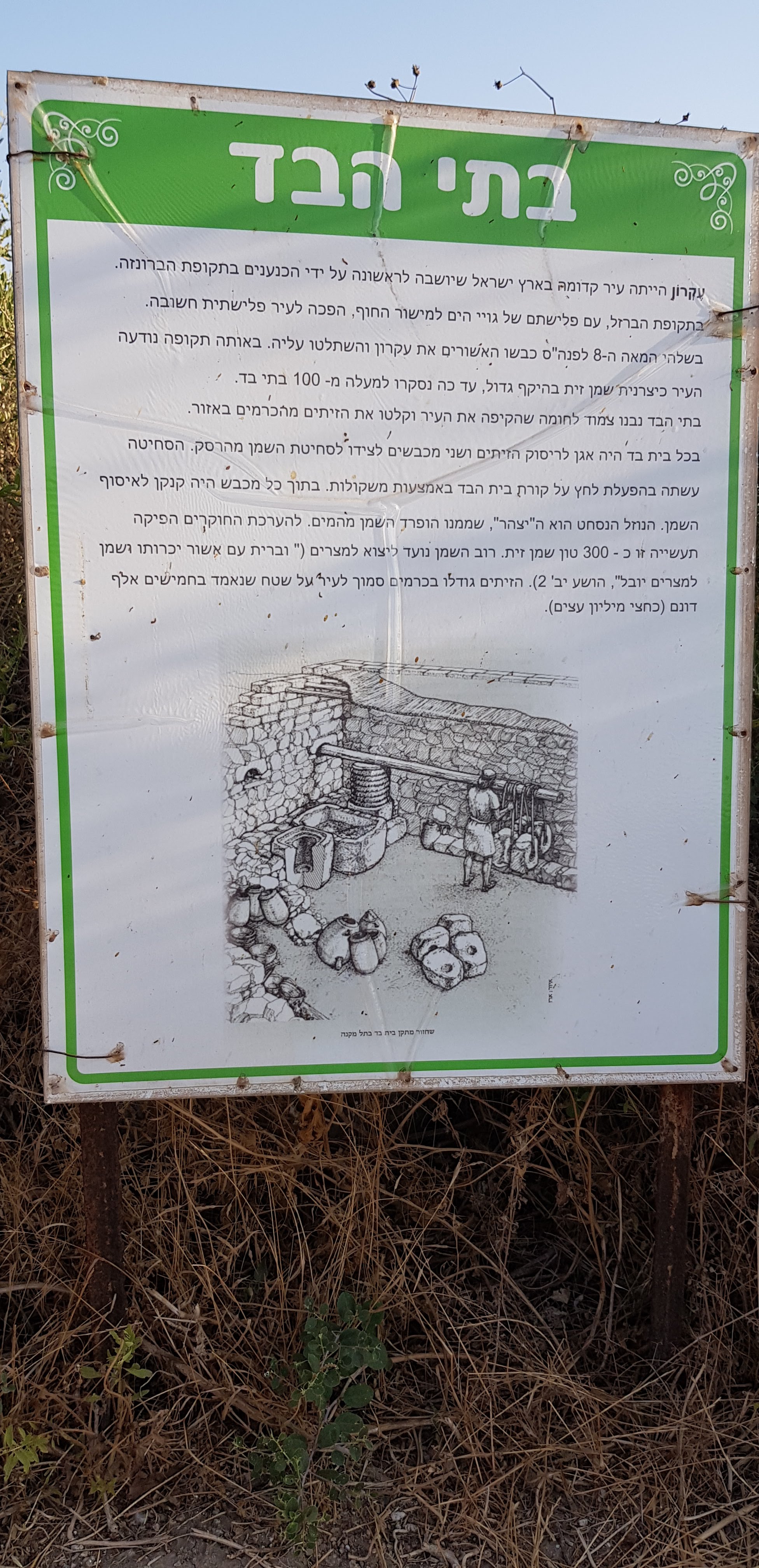
My translation to the explanation board:
Ekron was an ancient city in the Land of Israel, which was originally settled by Canaanites in the Bronze Age. During the Iron Age, with the invasion of the peoples of the sea, it became an important Philistine city. In the early 8th Century BCA, Assyrians conquered and reigned over the city, During that time, the city became famous as an exporter of olive oil.  To date, more than 100 olive presses have been discovered. 
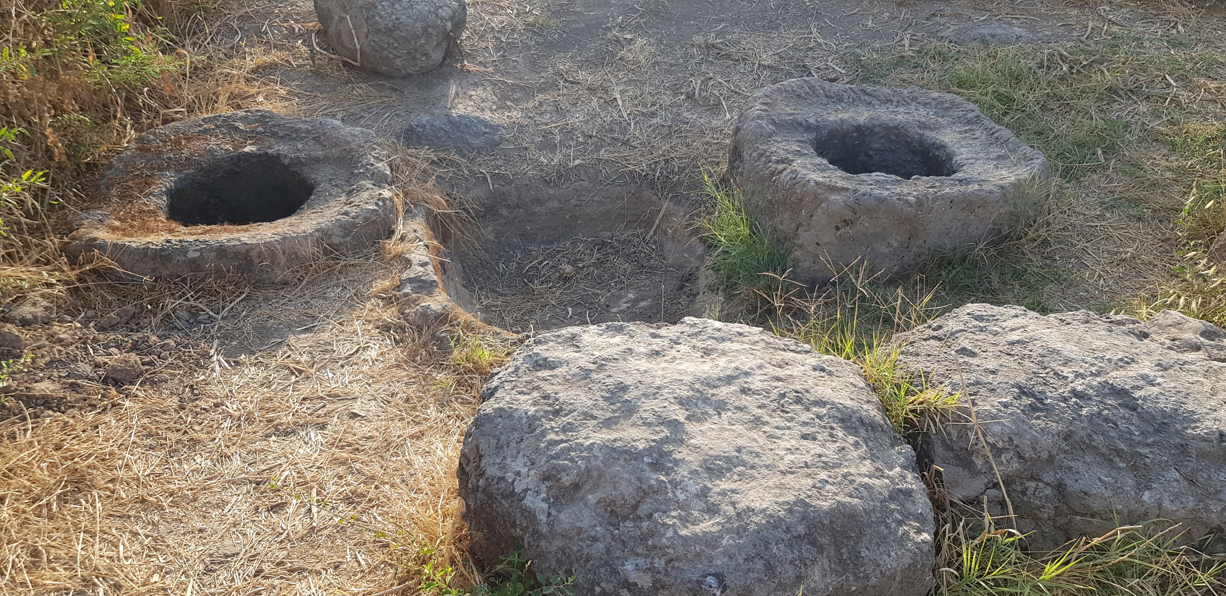
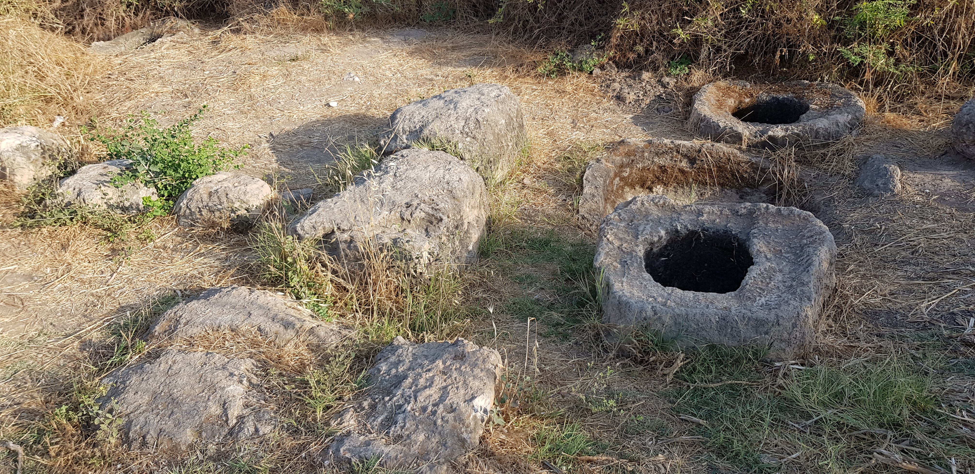
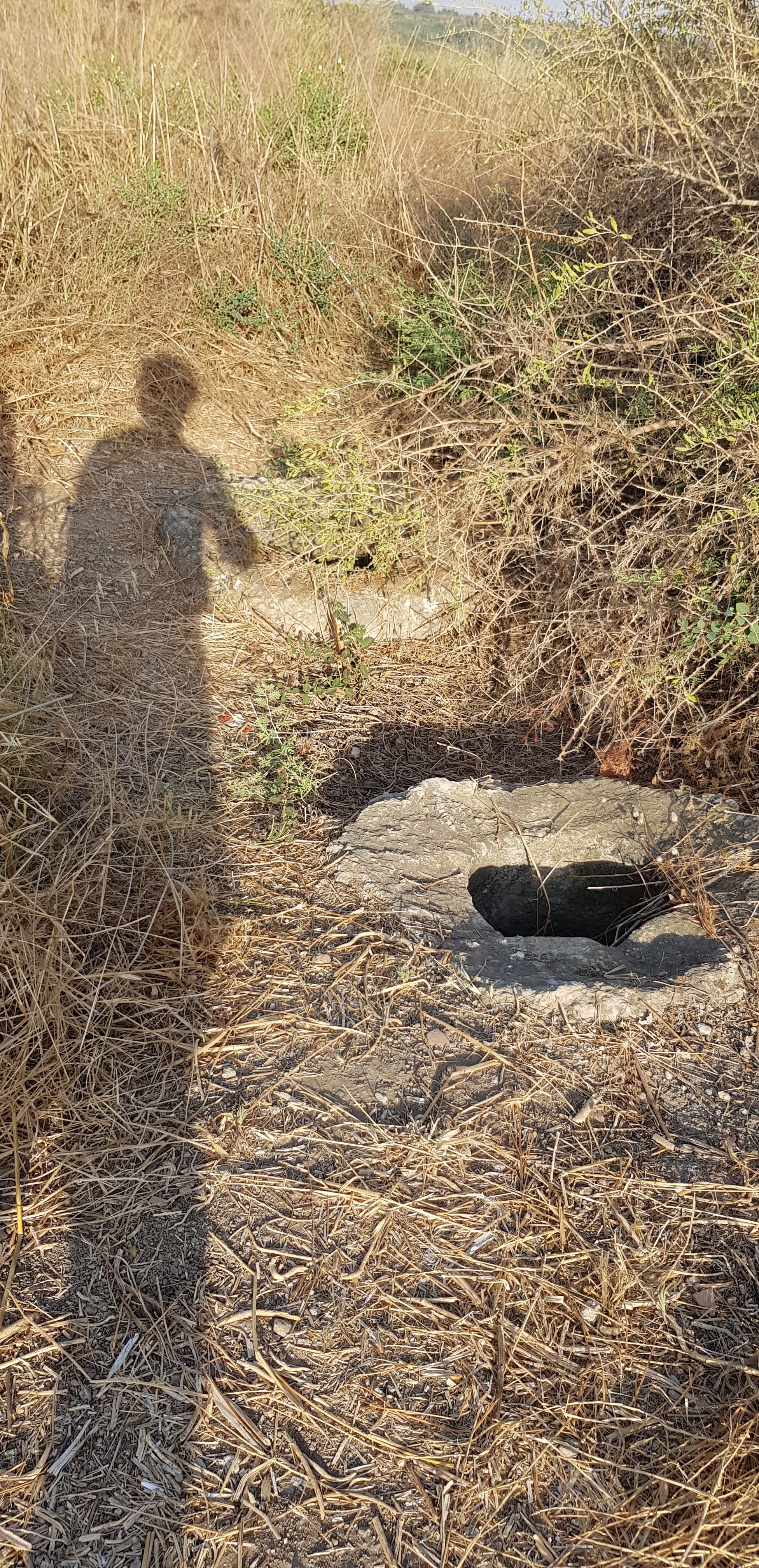
The olive presses were located next to the city walls, and received the olives cultivated in the surrounding groves. 
Each olive press consisted of 1 trough for crunching the olives, and 2 presses to squeeze the oil from the pap.  A wooden beam with weights hung from it was used for pressing. Each press had a pitcher to collect the oil. From this liquid, water was separated from the oil.  Researchers estimate that this industrial site produced about 300 tons of olive oil. Most of the oil was exported to Egypt. “…they make an alliance with Ashshur, and oil is carried into Mizrayim [Egypt].” Hoshea 12,2. The olives were cultivated in groves adjacent to the city, in an area estimated at 5000 hectares.

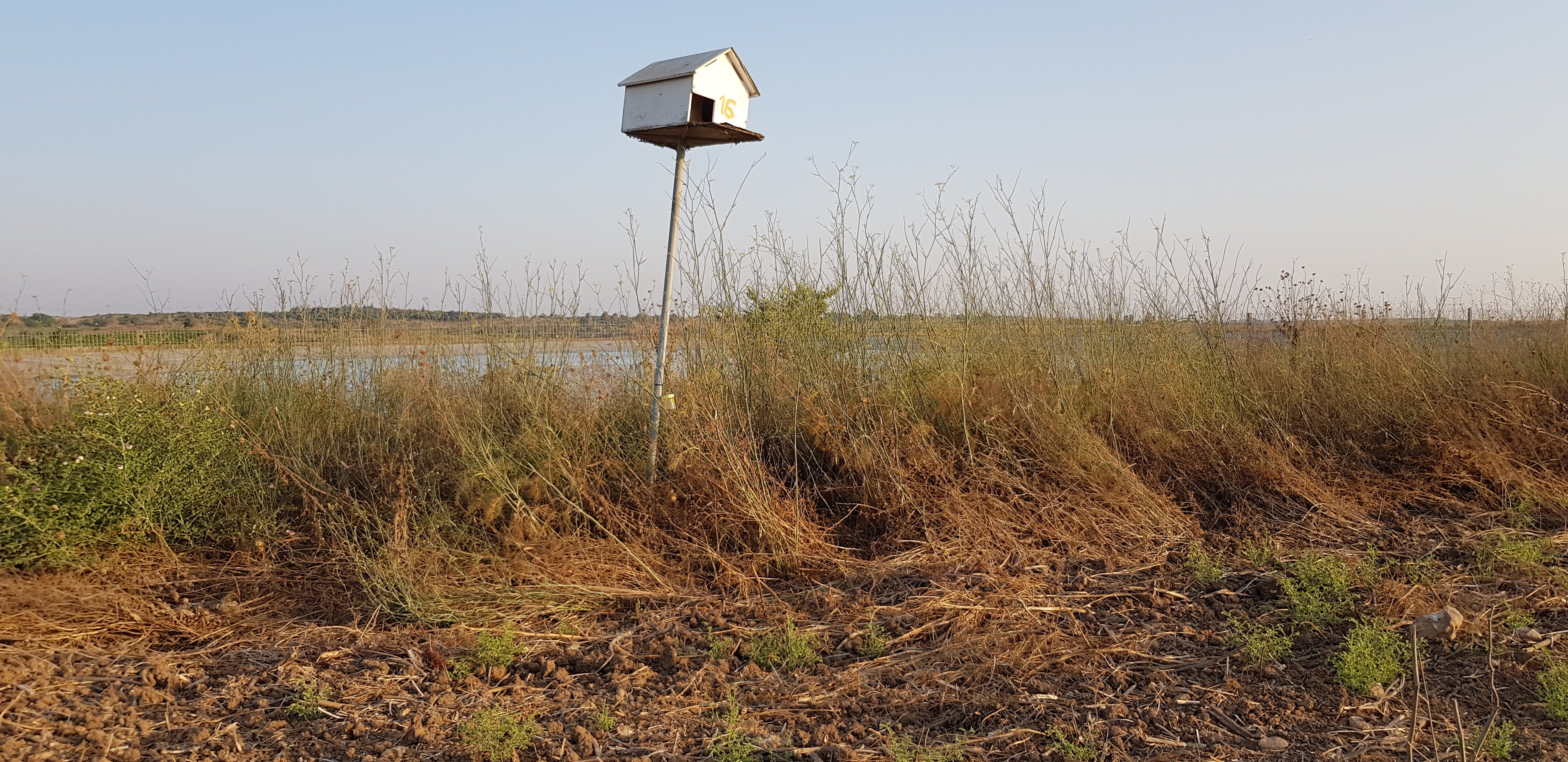
Ecological pesticide: One of many owl nests, placed by the farmers in their fields. The owls at night hunt and thrive from rodents which harm the crops. No chemicals used!

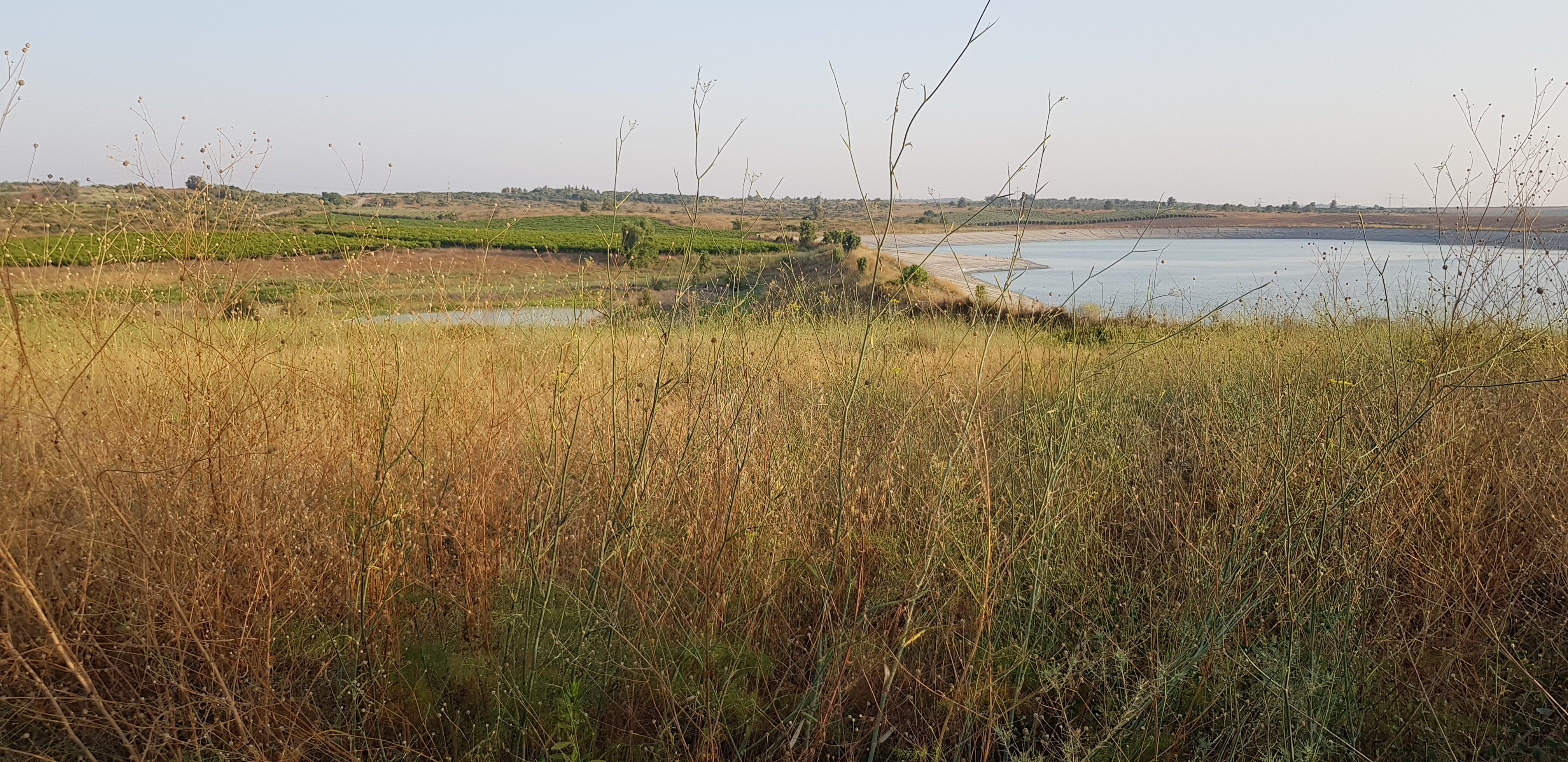
A view from the east to a natural swamp and adjacent Anot Reservoir, used for reclaiming water. Israel is world leader in water reclamation. T

Anot and and other nearby reservoirs are a birdwatcher paradise. See following link for birds in the area:

http://www.birdsbase.com/bbis_test/heb/location.jsp?id=4268&heb_name=מאגר%20ענות%20(נט)&area1=בסיס%20יסודות&area2=שפלת%20יהודה

Press on the following link to hear the sounds I recorded:

https://drive.google.com/file/d/1-9X85_jmZAnb05jmGUxmNhpB1bvnoiXu/view?usp=sharing

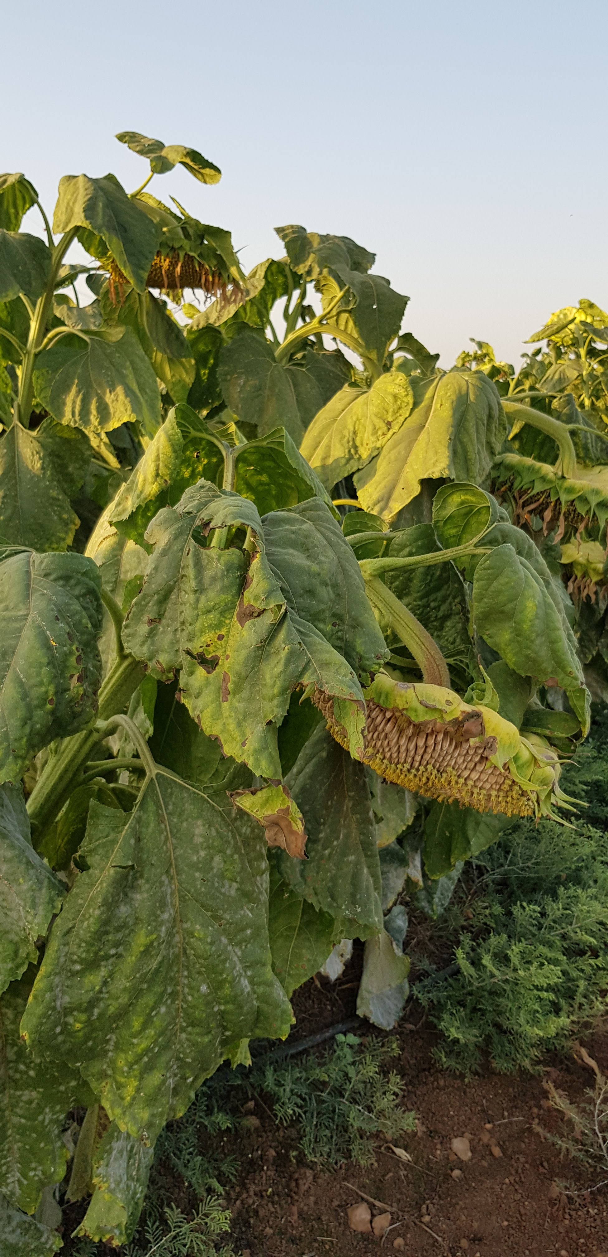
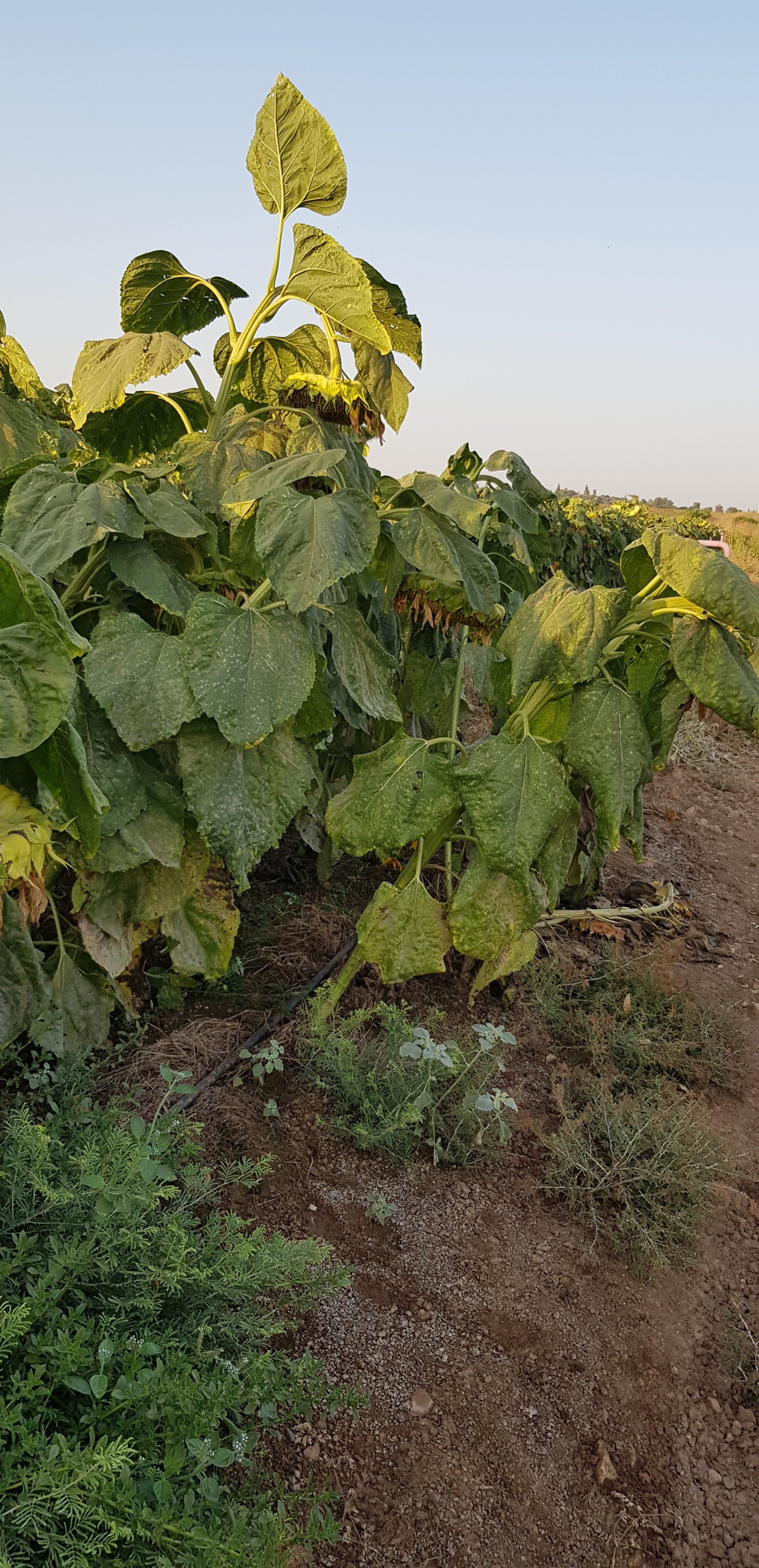
The fields I passed have wheat and sunflower crops, olive and grenade tree groves. As I rode back to my starting point, the sun was setting. Were the sunflowers going to sleep at the end of the day, or were they wilting at the end of their season?

I missed a snake that crossed the road some time before.

About my note pad (blog?)

For years I have travelled, taken endless photos, met beautiful persons, had interesting insights, harbored inspired thoughts. At the end of the day, I feel it was a past experience which with time will vanish. The photos are well ordered in a folder, visible to nobody. I have tried creating presentations, posting of Facebook, etc., all to not much avail. Now, investing twice the time I spent on an excursion, I wrote about it and posted photos and sound clips on this blog. I hope I’ll have the time and energy to keep it up! But for a start, it feels good!

Language is a dilemna. Hebrew? Español? English. Not because I rejoined the Anglo Club! It’s just because it’s the most universal of my languages.

I write a public blog instead of a personal diary, because I want to be in touch, I look forward to feedback and interaction.

I will probably write about traveling usualy by bike or on foot, about encounters and people, architecture, history. About life.

Create your own website, free on WordPress.com.Create your own website.
Start free