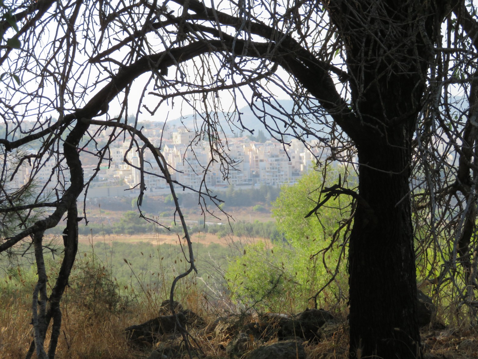
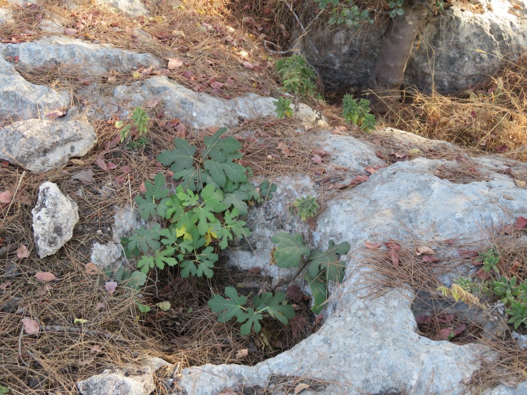
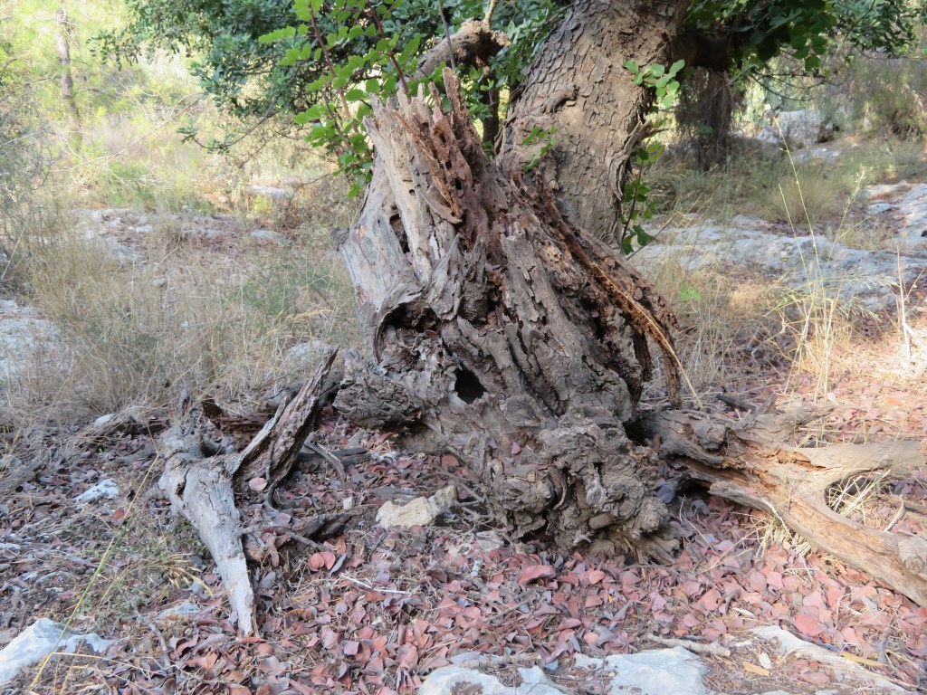
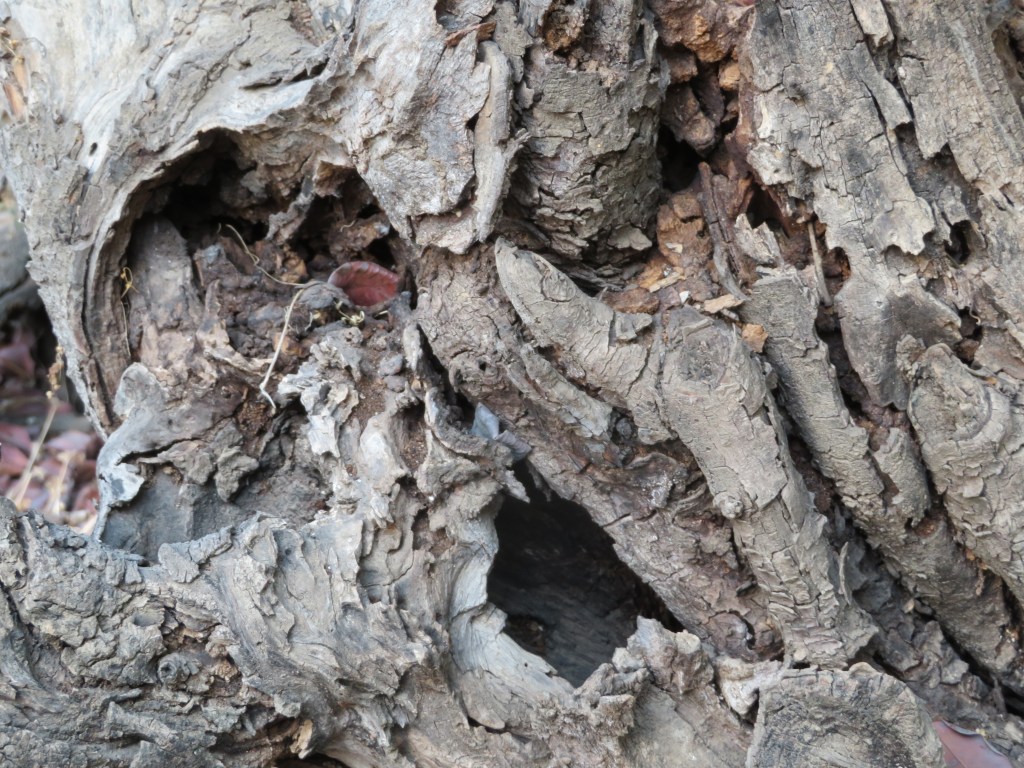
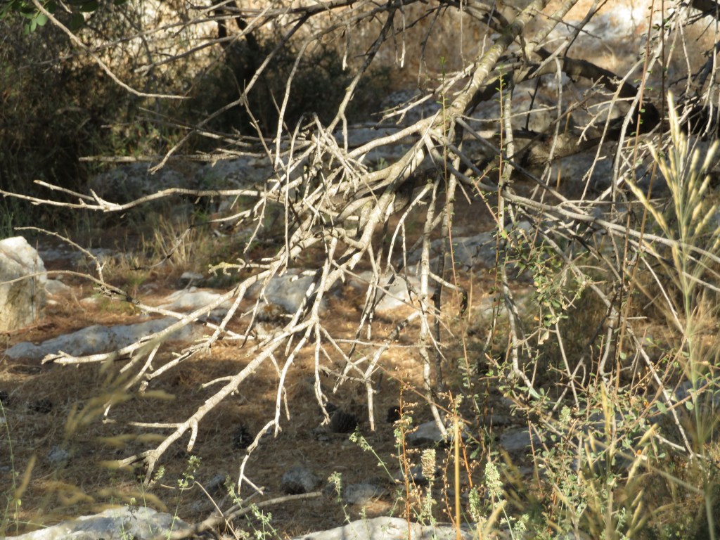
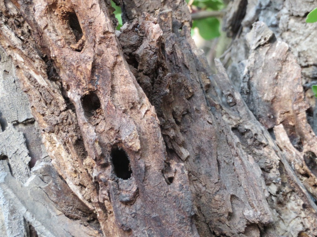
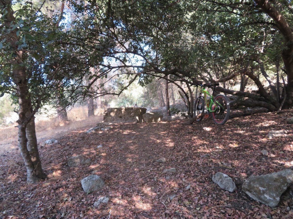
I rode my bike from my home for about 15 minutes to one of the forests to the east of my home city of Bet Shemesh. I chose one of the many dirt roads penetrating the forest. After leaving the intensely lit fields, I relished the shade of the trees and my eyes adjusted to the softer light. The mountain forest landscape revealed itself, with the trees, the rotting tree stumps, the floor covered with layers of pine needles, leaves, shrubs and stones. The sights, the sound and the smell of the forest which I am so familiar with, and which I so cherish, spoke to me and welcomed me.
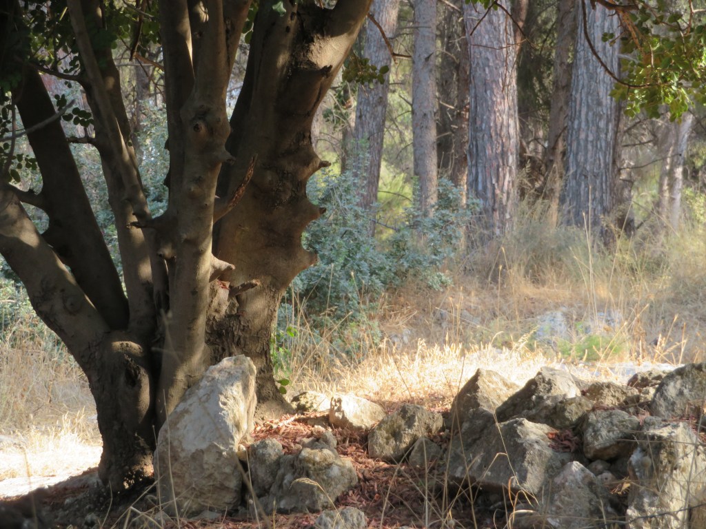
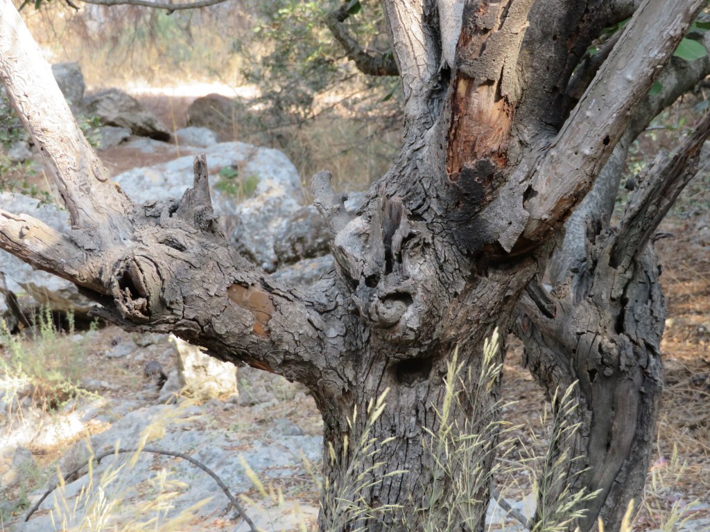
Yet, together with the spirit of the forest, I sensed an additional voice; an unmistakable voice of agony and tragedy. I seemed to hear the tortured tree trunks, the thorns and thistles and the piles of rubble cry oh, so sad a lamentation.
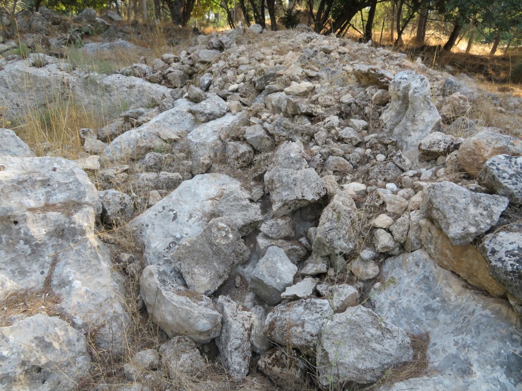
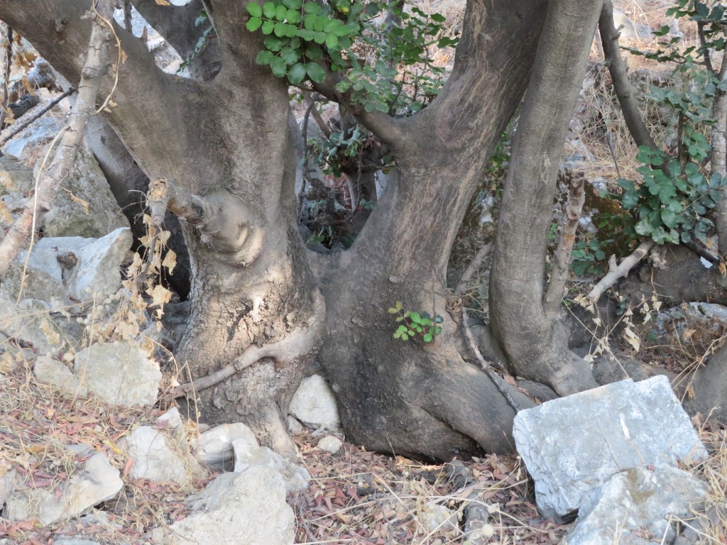
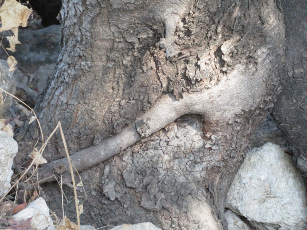
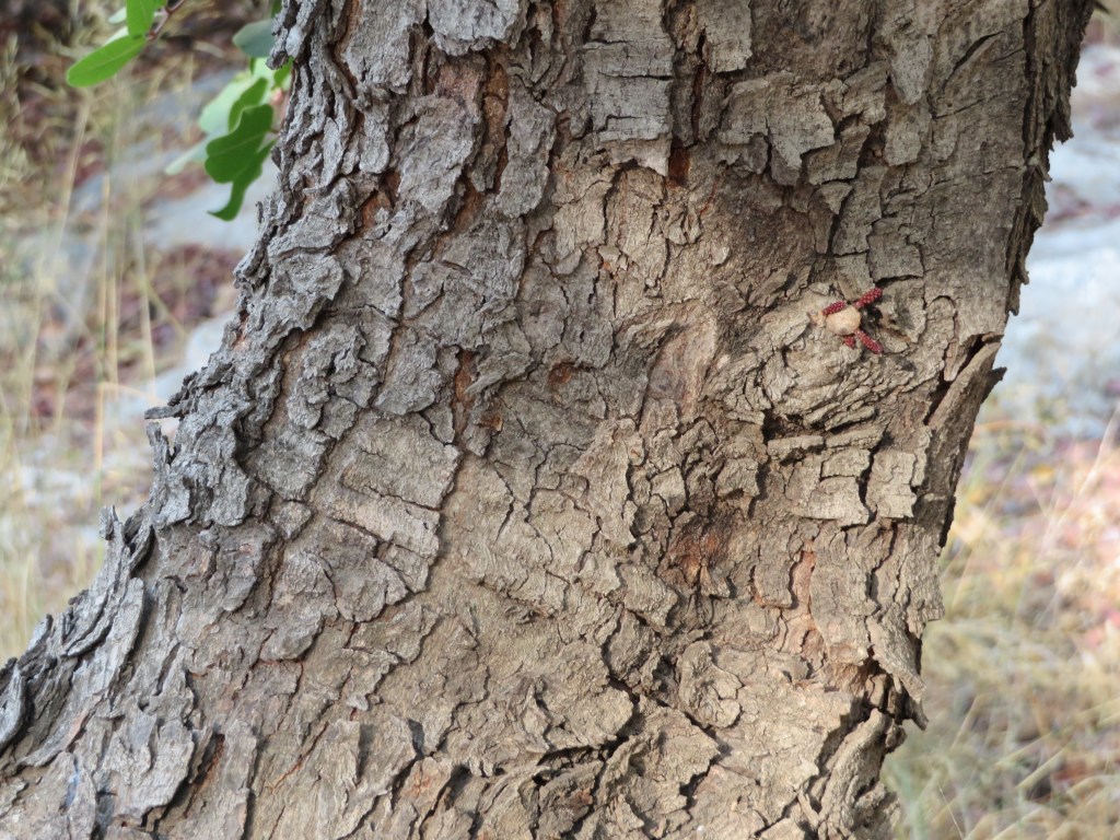
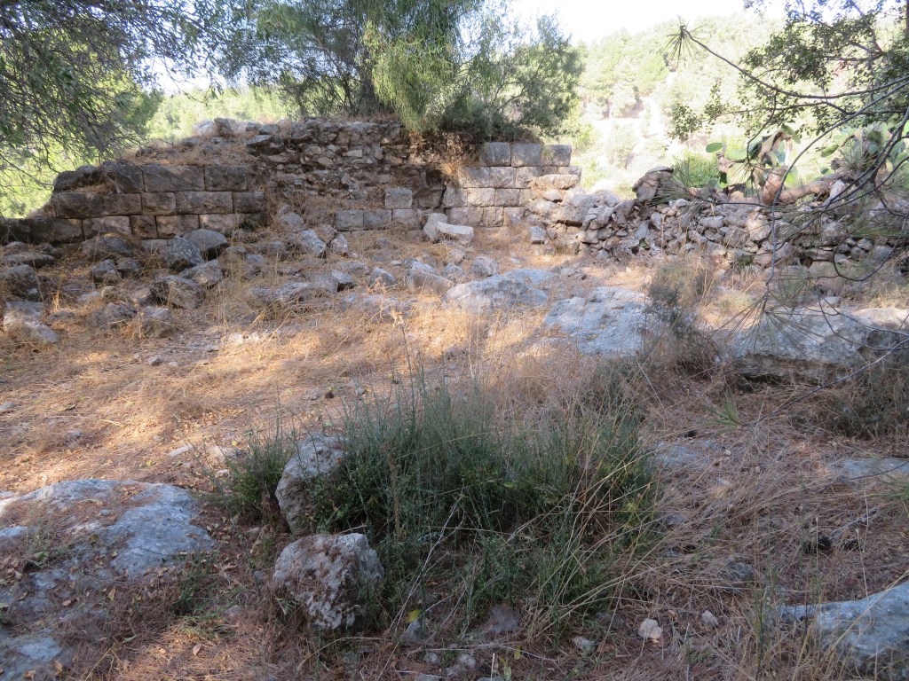
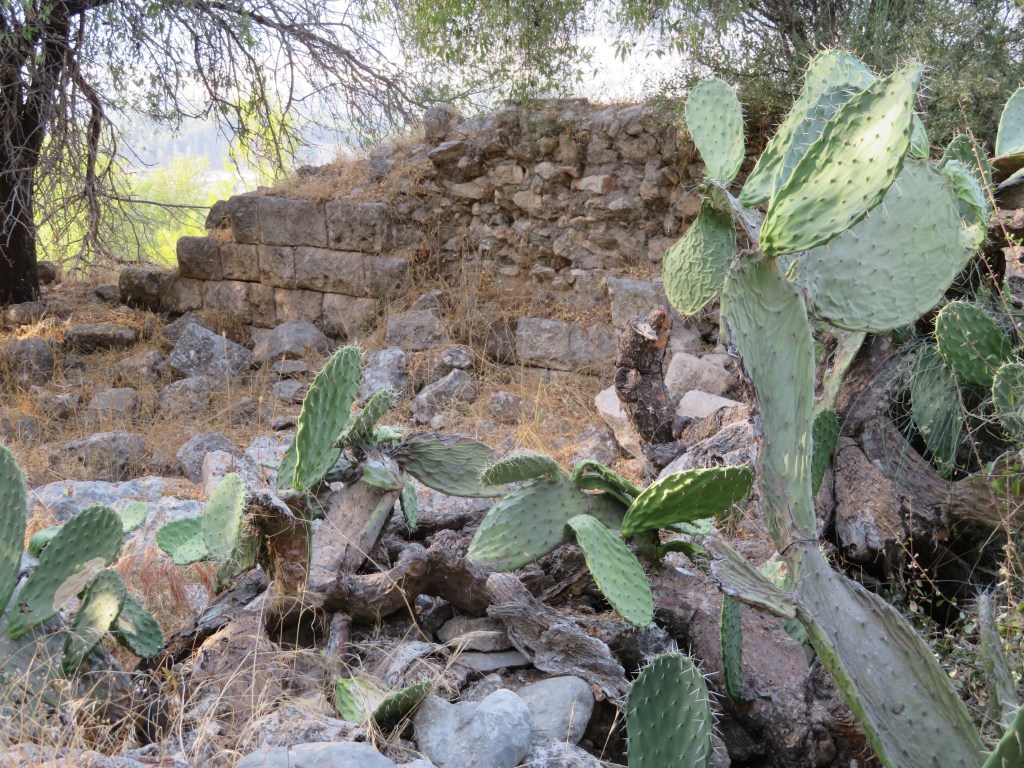
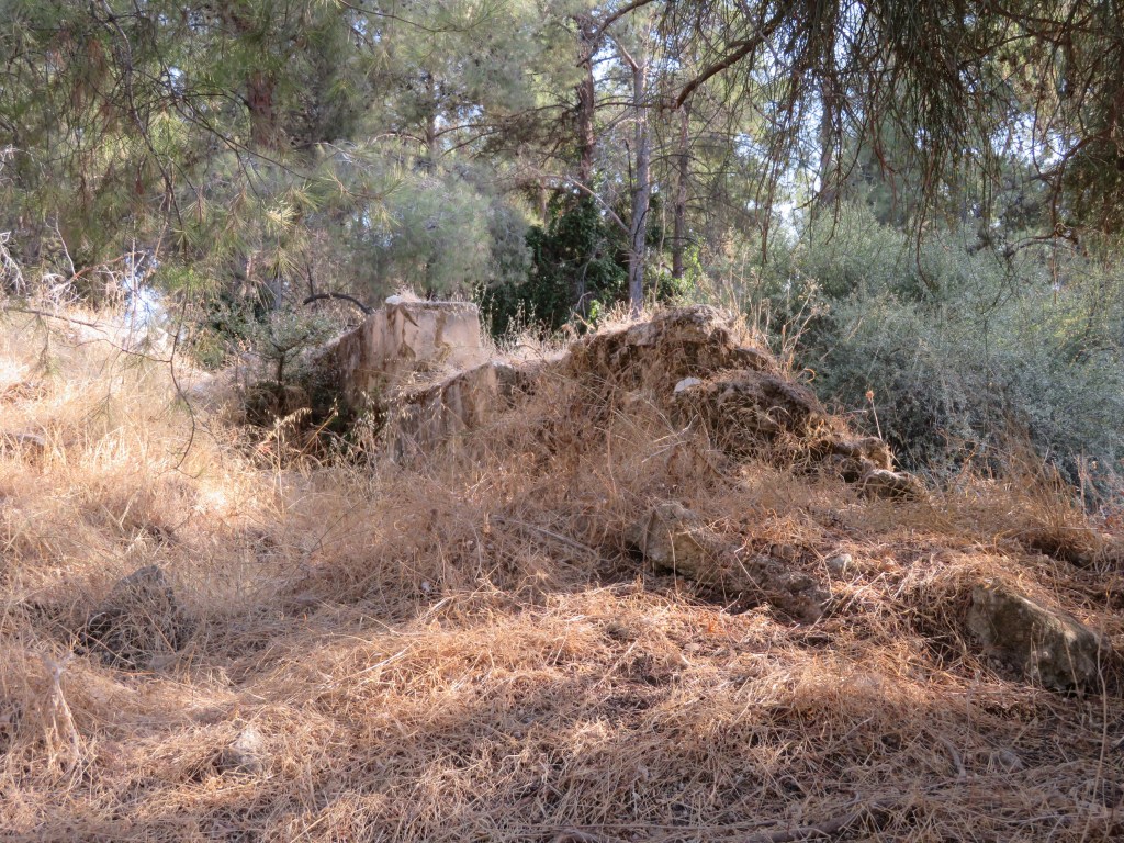
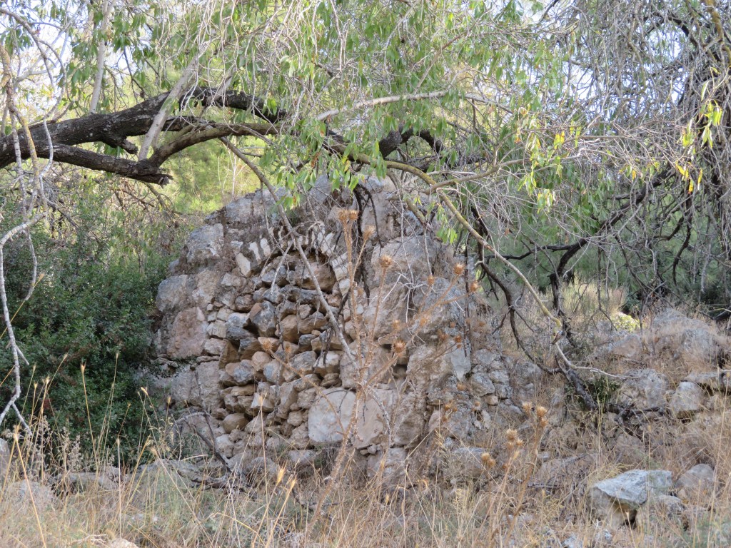
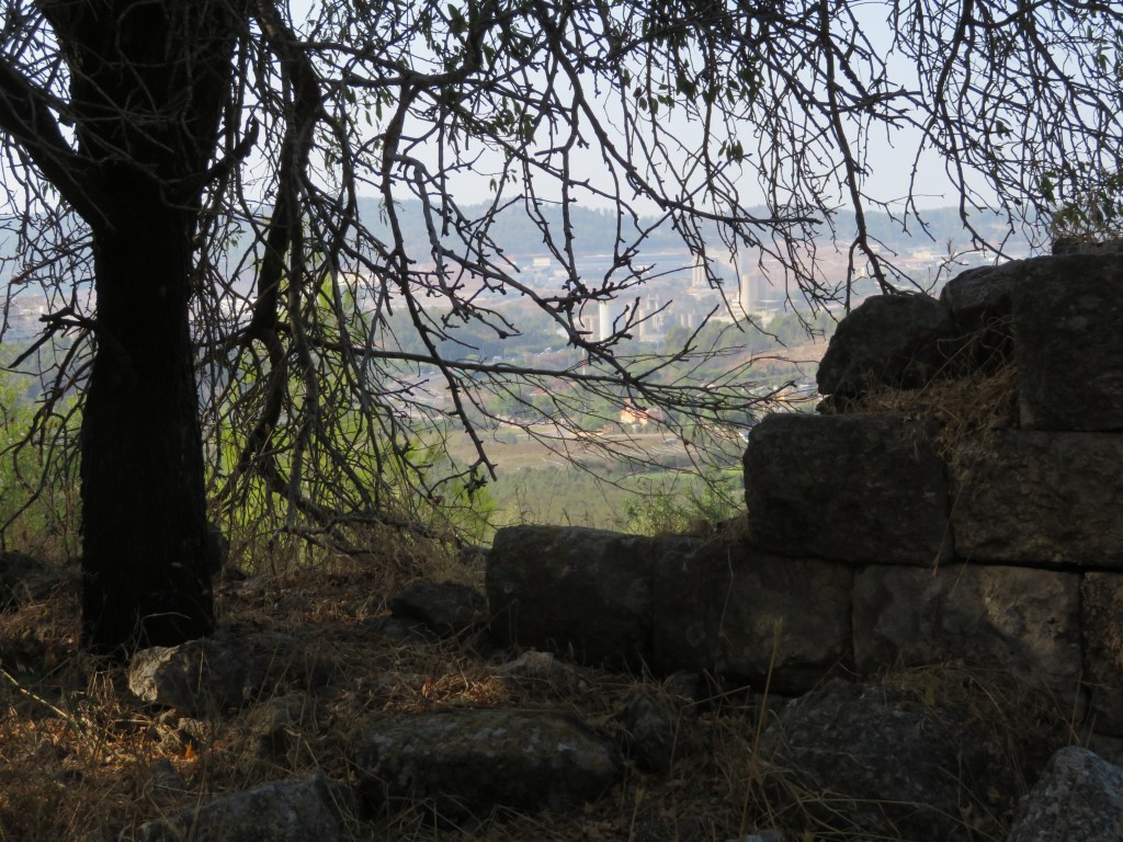
Why is this forest crying so? I biked on, and spotted a small rectangular shaped structure under a carob tree, camouflaged by the play of light and shade, by twigs, leaves and mosses. At first glance, it looked to me like part of the forest nature; but no, what I had found was a structure, built long ago by persons, subsequently abandoned by them, and finally devoured by the forest.
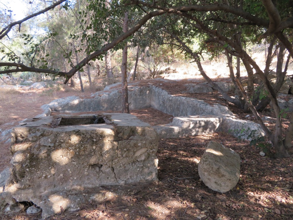
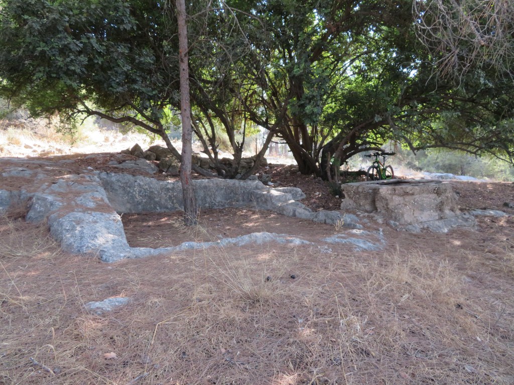
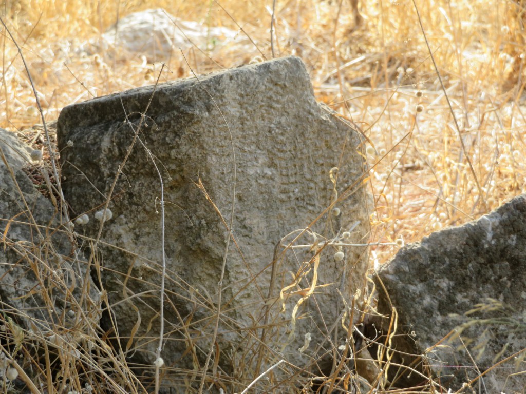
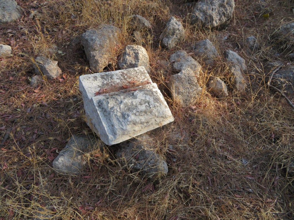
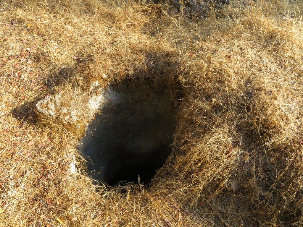
I had found a concrete structure about one by one meter, made of four walls and a slab that was covered with a rusting metal latch. I lifted the latch, and found the deep round hole, too deep to see its dark bottom. I tossed a stone, and after a short pause heard it splash into water. This was an abandoned well, probably centuries old, but covered by the more recent structure, which judging from the concrete and metal, must have been built sometime in the 20th century. Next to the well, was a square trough about three by three meters, carved into a large rock. It is an ancient treading pool for pressing grapes for wine, possibly from the Byzantine or an earlier period. The forest here hides many other ruins of buildings, rectangular building stones, terraces, wells. This is what remains of the Arab village of Deir Aban, which was destroyed and abandoned during the Israel War of Independence in 1948.
I later researched the locality on an interesting Palestinian website that compiles information about Arab settlements that were destroyed in 1948 during the War if Independence https://www.palestineremembered.com/. The website contains much information, among many other localities, about the Palestinian town of Deir Aban (Dayr Aban as per their transliteration), from which the following very partial list was taken:
- Number of houses in 1948 before destruction: 509
- Population in 1948 before they abandoned: 2,436
- Town’s name through history: The Romans called the town Abenezer
- Archaeological sites: Dayr Abban contains three khirbats [ruins]: Khirbat Jinna’ir, Khirbat Haraza, and Khirbat al-Suyyag.
The following photos are some of the 39 photos the website shows of the town before and after 1948:
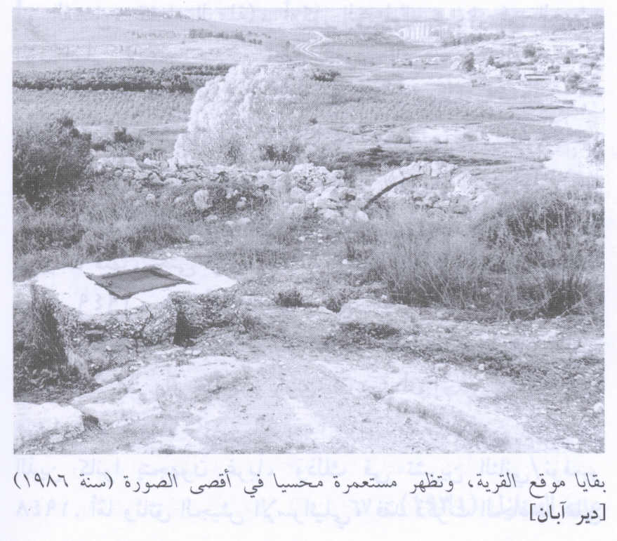
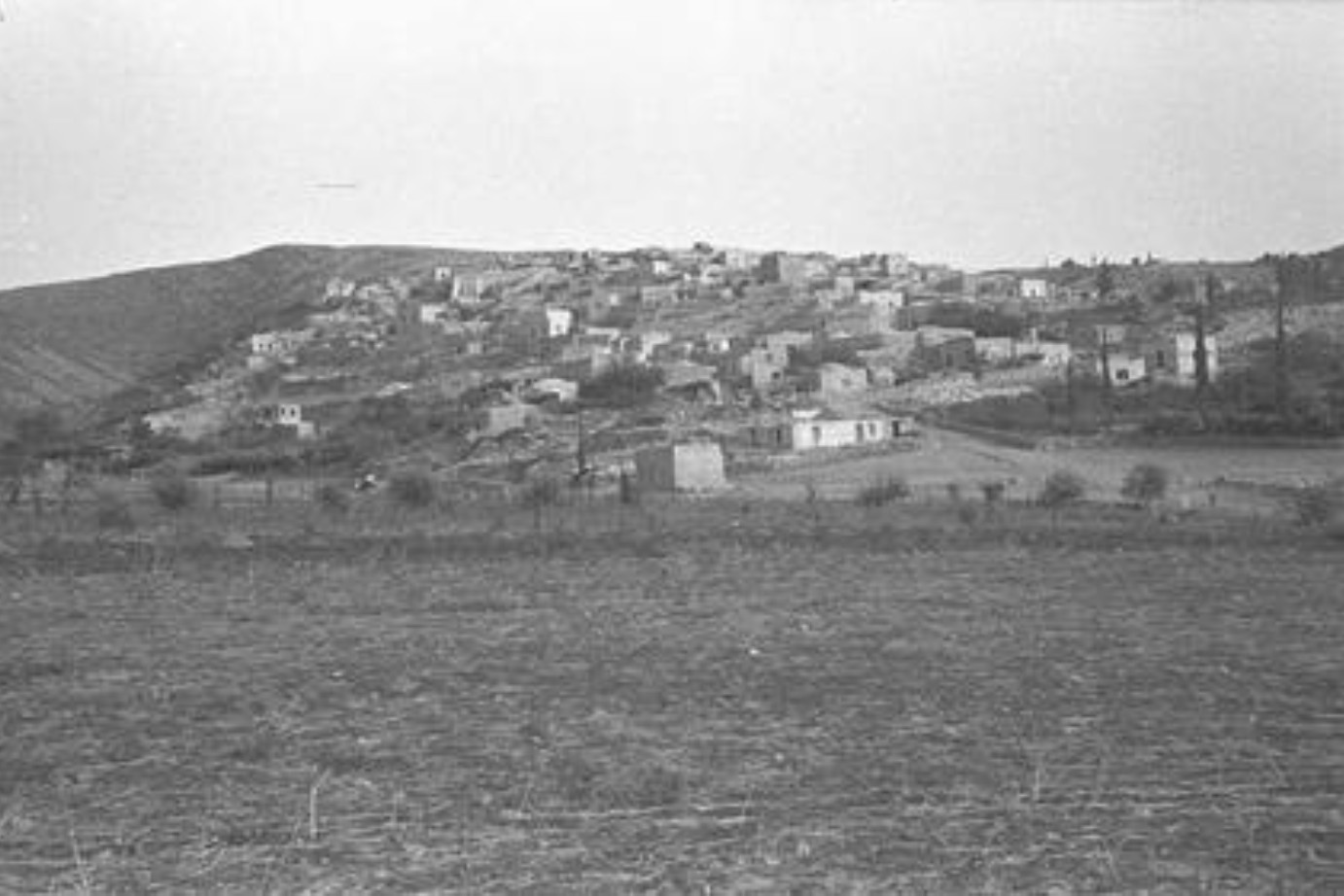
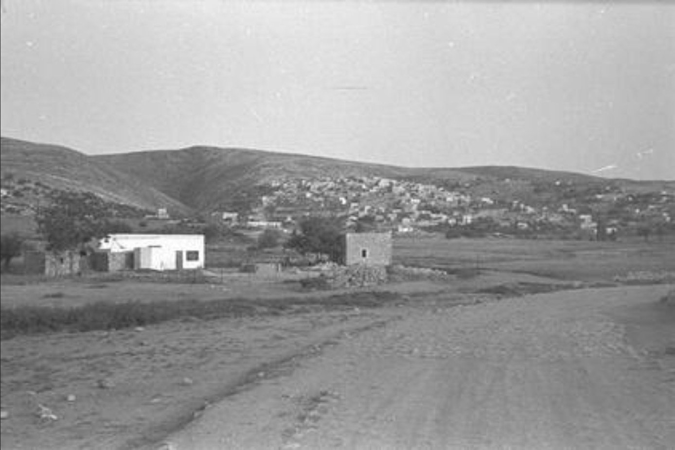
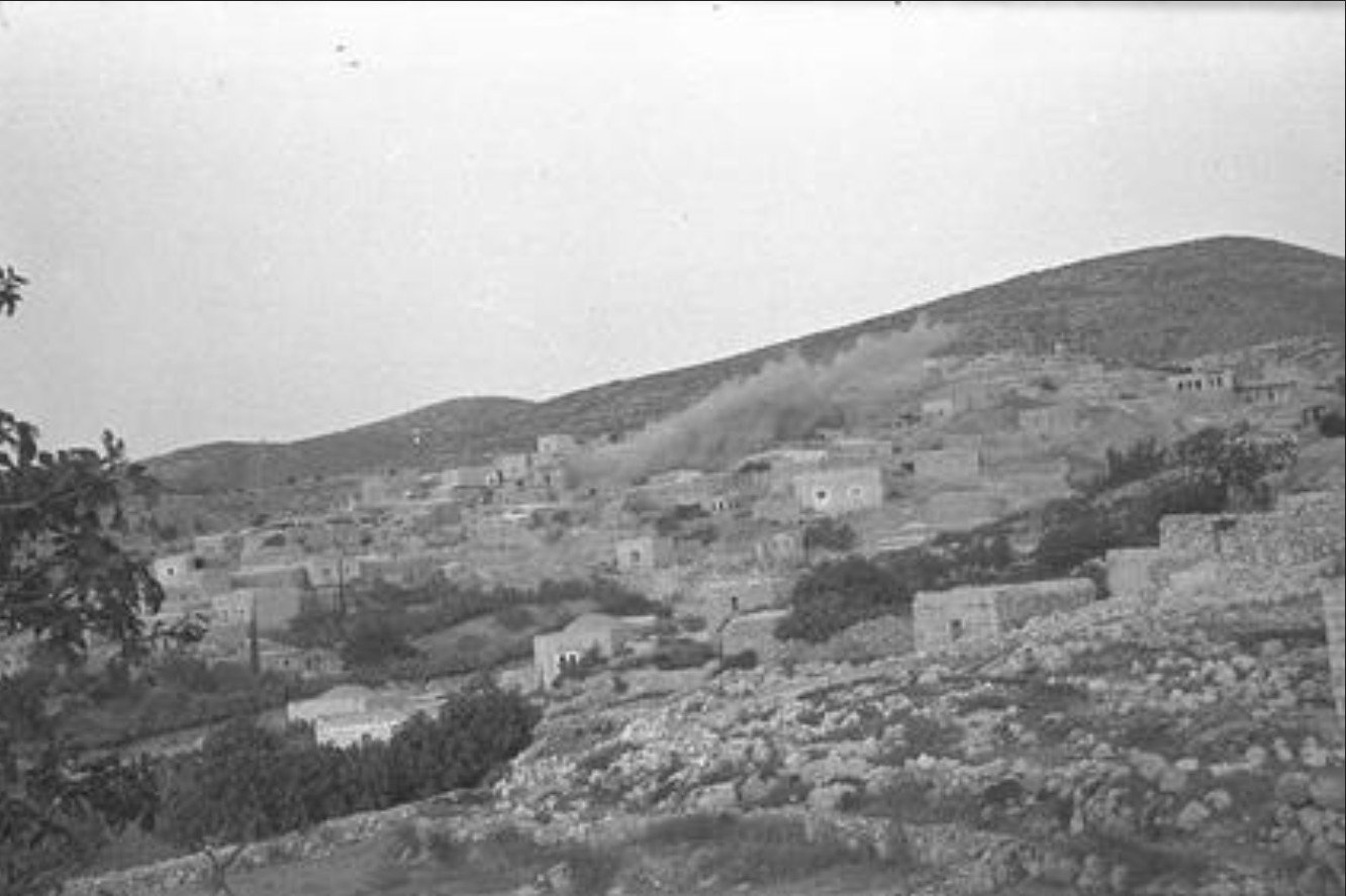
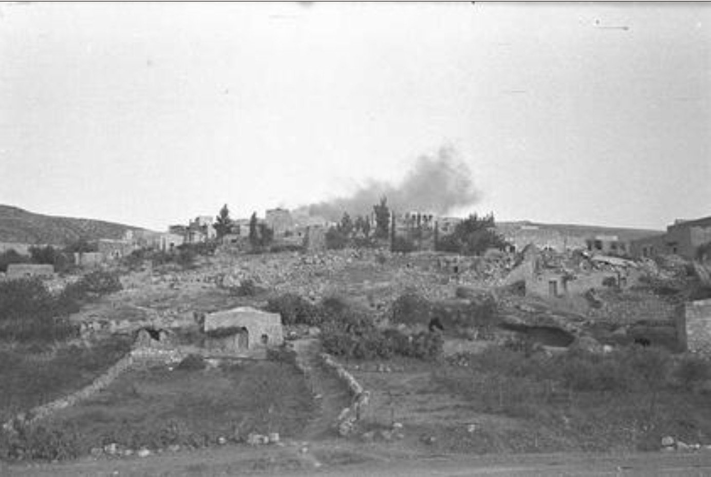
These photos show the town on barren hills, which today are covered by one of the forests that that the Kere Kayemet LeIsrael (Jewish Fund) planted during the late 50’s and early 60’s the length and breadth of Israel.
In 1990 I purchased the rights on the plot of land on which I eventually built the house where we live. Like the majority of land in the State of Israel, my plot is owned by the state, and I acquired the rights to use it under a lease for 49 years. Recently I was reviewing the official Property Rights Certificate of my plot, which is issued by the national land property registry. In addition to the current information, the certificate includes historical information of the property. The current location is Bet Shemesh Municipality, but the original locality registered on the document, probably as per records either of the Ottoman Turkish Empire before WWI, or of the British Mandate of Palestine from the end of WWI until 1948, is none other than Deir Aban.
The above website, besides presenting a treasure of extensive statistics, facts and photos, also tells the Palestinian Narrative, which I consider a one sided and sterile interpretation of the events, a position which knows no compromise and leads only to hatred and bloodshed. Yet I cannot ride the forest without hearing the tragedies it so eloquently becries. Those ruins were houses and public buildings where human beings lived their lives. Generation after generation of families lived and worked that land, were deeply rooted to it, and then were abruptly and violently torn from it in the fury of a war. It is the story of old women and men and of children whose lives and homes were devastated. Perhaps the forest, if only we hearken to it, wants to reach out to us when we visit it, and tell us that the simple recognition of this suffering is a necessary ingredient for a peaceful, mutually respectful coexistence between the Jewish and Arab inhabitants of the State of Israel.

Very eloquent Otto. I wholly concur with your sentiments
LikeLike